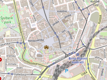
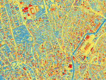
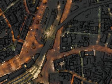

We analyse data in a total of eight thematic areas. Underneath you will find interesting numerical data, outputs in the form of interactive graphs, maps and map applications and other interesting studies or articles.
The pilot version of the Brno Metropolitan Area map application is available under the preview image or under this link (Czech only).

A new Atlas of the Brno Metropolitan Area was published in 2024. The Atlas offers a different perspective on the links between Brno and the municipalities in its wider surroundings. A total of ten chapters present a variety of topics ranging from natural characteristics, socio-demographic, transport and economic indicators to information on tourism and amenities of individual municipalities.
The first Atlas of the Brno Metropolitan Area from 2015 is available at this link:
We are gradually opening datasets for the Brno Metropolitan Area to the public. In cooperation with data.brno, we are uploading thematic information about BMA to the Brno Open Data Catalogue (only in Czech). Individual datasets are also directly entered into the National Catalogue of Open Data, where they are centrally registered.
Every three years, the City of Brno reaches out to all mayors of the municipalities of the Brno Metropolitan Area (BMA) with a request to complete a questionnaire. The goal of the questionnaire is to identify the opinions, needs and problems of all municipalities in the BMA in relation to the enhancement of metropolitan cooperation and its institutionalization.
Register your e-mail address to receive regular updates from the Brno Metropolitan Area.