We would like to introduce you a new map application of the Brno Metropolitan Area (BMO), which enables detailed analysis and visualization of statistical data at the level of individual municipalities. The application is currently in its pilot version and offers users the possibility to browse data from 2010 in various thematic areas. We presented the application together with other data outputs at the ESRI GIS 2024 Conference in Prague and also at this year’s GIS Day at the City of Brno. It received positive feedback at both events.
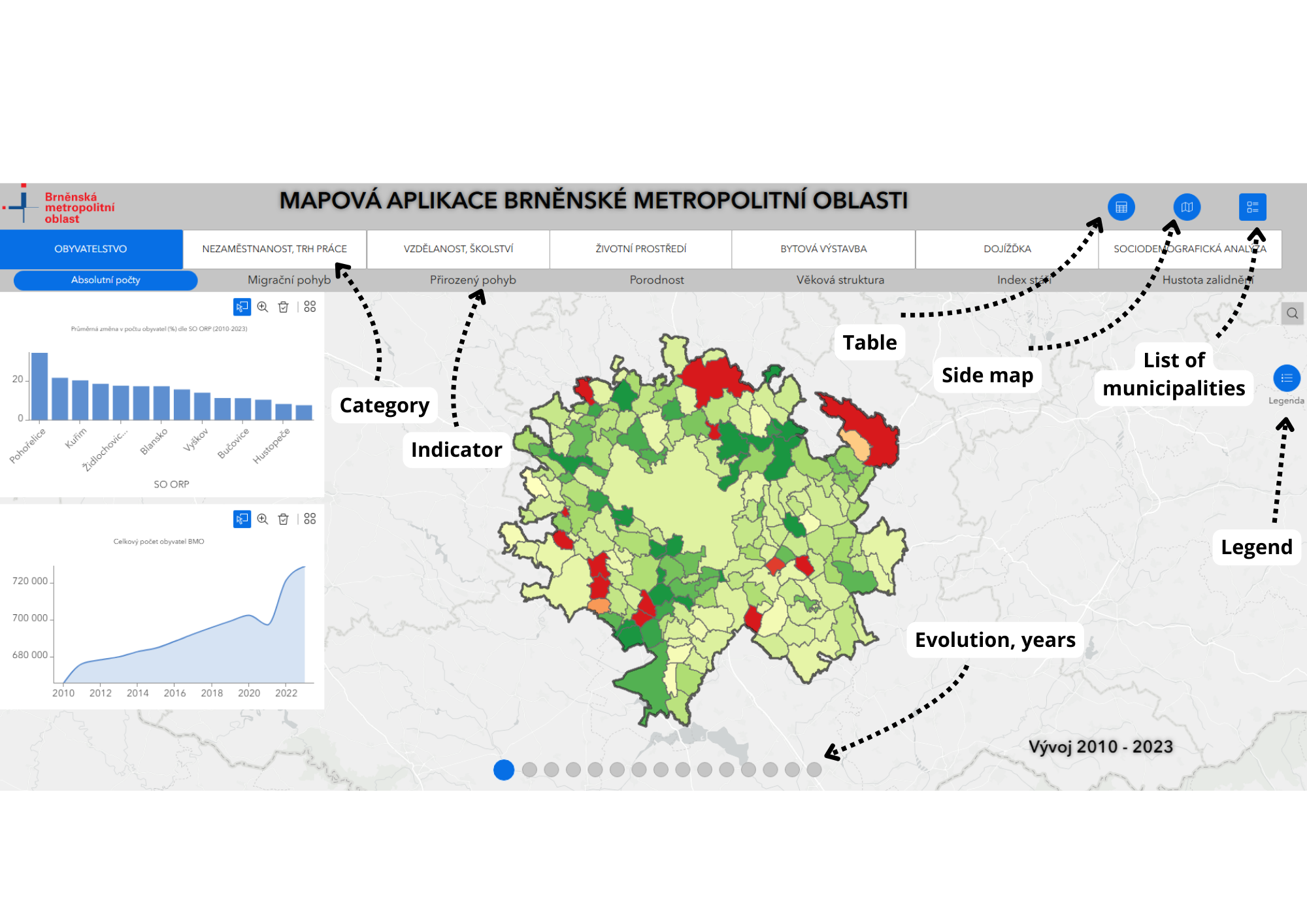
Quite a lot has happened in the field of data and analysis at the level of the Brno Metropolitan Area this year. One of the outputs is the map application of the Brno Metropolitan Area. The application includes all important statistical data up to the level of municipalities of the whole area. It is currently divided into seven main topics:
Under each of these, individual phenomena are included, which are divided into a time series generally from 2010 onwards, or the period in which we are tracking the data. Thus, the user can browse through the years and examine for themselves how they change over time and space, while also being able to compare them to other phenomena in the application.
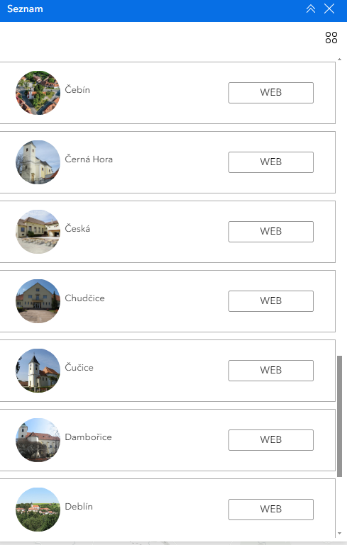
An integral part of the application is also an attribute table from which users can filter data for a given statistical phenomenon, for a specific year, municipality or set of municipalities. The data can then be exported in GeoJSON or CSV formats. The application also contains a complete list of municipalities of the Brno Metropolitan Area with a link to their websites.


The map application is currently in a pilot version and we plan to gradually add to it and improve it technically. At the same time, a version compatible with mobile phones and smaller screens is in preparation. The current version can be found here. We would be happy to receive any comments on the app, please get in touch at metropolitni@brno.cz.
In early November, the analytical outputs were also presented at the ESRI GIS 2024 Conference in Prague. This event is the largest professional meeting of experts in geoinformatics systems and data analysis. This year’s event attracted more than 1,000 participants from around 300 institutions. The promotion and popularisation of metropolitan data, as well as the subsequent feedback, is essential for the further development of similar activities. In Prague, we presented data and analysis at the BMA level in the form of a poster, which can be found under this link.
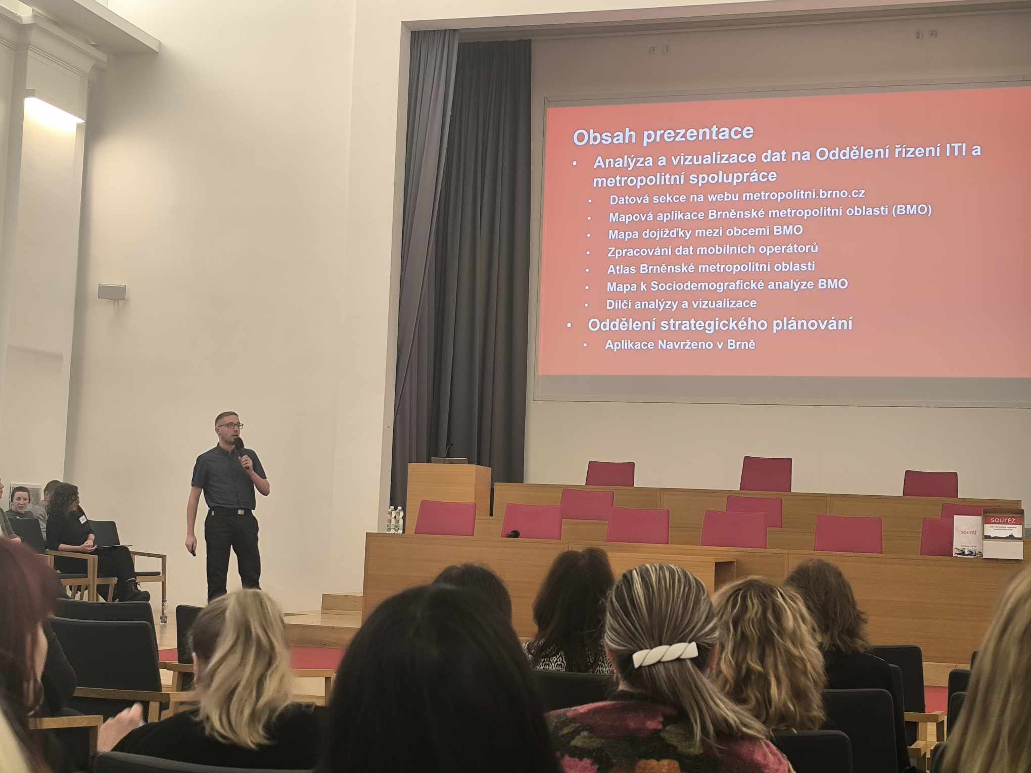
We also accepted the invitation to this year’s GIS Day of the City of Brno, which took place in the auditorium of Mendel University. Here we presented not only the map application itself, but also other mapping and analytical outputs in the form of a lecture. Such a systematic presentation of data at the metropolitan area level is unique in the context of the Czech Republic. In the future, we plan to continue to make our data work visible on other occasions.

Register your e-mail address to receive regular updates from the Brno Metropolitan Area.